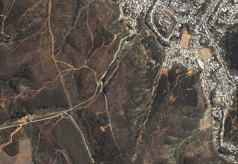
Land cover is under continuous change, either by natural or human-induced modifications. These are complex processes that depend upon different variables typical to each ecosystem, place or country. Such changes may occur in a short time frame or may be caused by variations in management practices of, for example, rural and forested areas. At the same time, the generated changes may be consistent in time (e.g. burn area, harvested forest, expansion of urban area) or reversible to the initial condition (e.g. floodings, crops). To study and analyze the variables and their effect, remote sensing provides a wide list of tools, methods, and techniques that can be used at different spatial and temporal scales. Multi and hyperspectral data recorded from satellite or airplanes, together with tridimensional point clouds retrieved using LiDAR, are exploited to gather the required information.