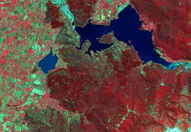
The Food and Agriculture Organization (FAO) and the World Health Organization (WHO) latest reports indicate that to secure food for the population in 2050, the production must double. This condition puts a great amount of pressure on agriculture because to reach that objective the productivity must improve, and high yield crops should be selected. Using satellite imagery it is possible to have information on the extent of planted and harvested crops, deriving estimates on yield, following their phenological status and monitor other variables that may influence productivity, such as temperature, precipitation, plague detection, soil moisture, and evapotranspiration. An advantage of remote sensing is the capability to study earth surface at different scales. From detailed scale where it is possible to monitor crop status and grow, giving recommendations on water or nutrient management to improve crop yield, also known as precision agriculture, to regional studies dealing with, for example, historic evolution of the planted area of a particular crop.