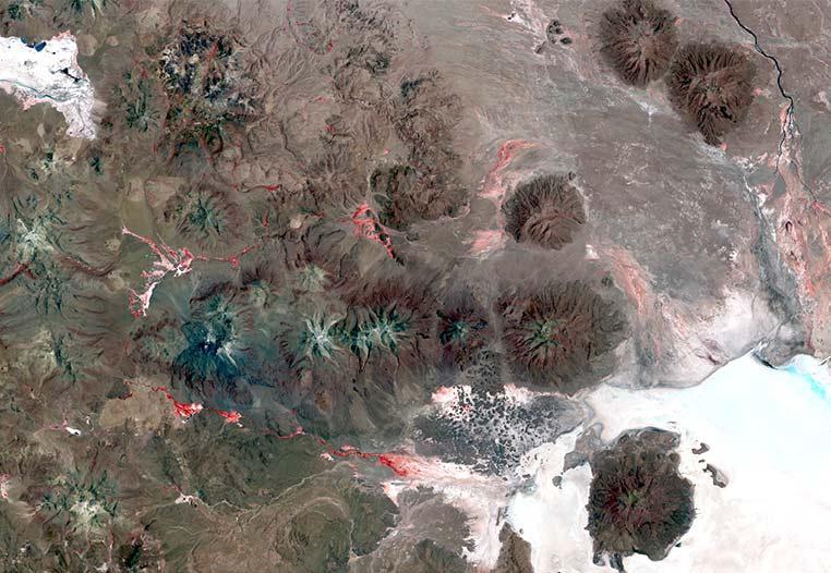
Geological and geomorphological hazards (e.g. volcanoes, earthquakes, subsidence, landslides, among others), have the potential to harm human life or health, the environment, and the property. In the last decades, the level of damage caused by these events has increased as a consequence of climate change, and the dynamics of populated areas. Monitoring and predicting risks are defined for a specific area and moment in time, thus, remote sensing techniques provide relevant information that allows the prediction of a natural event of this kind, with a certain probability. Using field data and variables derived from SAR and optical images, plus digital elevation models of the area, it is possible to study relationships as indicators to evaluate its susceptibility.