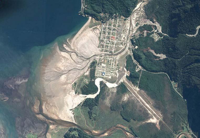
Natural disasters originated from natural or human activities have become a topic of high concern. Their frequency and magnitude are a threat to the population, the environment and its elements, services, and biodiversity. On one hand, floodings, wildfires, and landslides are strongly related to human intervention and climate change. On the other hand, volcanic eruptions, earthquakes, and tsunamis are natural phenomena.
Natural hazards create large territorial impacts, therefore mapping and monitoring are ideally registered by means of satellite imagery, allowing to study the affected area before and after the event, as well as to analyze the reconstruction process, and to estimate the economic losses. Remote sensing data from LANDSAT, Sentinel-2, MODIS Aster, and SPOT, among others have been extensively used to identify natural hazards and to estimate boundaries of impacted areas, and also to support reconstruction stages.